Latest News
GeoVisual featured in CB InSights market map of companies bringing AI and robotics to agriculture
July 2017, Boulder, CO – GeoVisual has been featured in CB InSight's market map of startups that collectively have raised over $500M to bring AI and robotics to agriculture. CB InSights searched its industry database to identify robotics and AI companies working in...
GeoVisual technologies featured in NASA Spinoff Magazine
Jan 2017, Boulder, CO – Two of GeoVisual’s technologies were featured in separate articles in NASA’s premier publication, Spinoff, which profiles NASA technologies that have transformed into commercial products and services. The 2017 edition features an article on the...
GeoVisual is awarded a commercialization grant from the state of Colorado
Dec 2016, Boulder, CO – GeoVisual was one of thirteen Colorado companies awarded grants of up to $250,000 from the Office of Economic Development and International Trade to enhance the commercialization of advanced industry products or services in Colorado. GeoVisual...
GeoVisual wins THRIVE AgTech Accelerator competition
July 2016, Salinas, CA – GeoVisual was announced as the Operational Excellence winner of the 2016 THRIVE Accelerator program during the second annual Forbes AgTech Summit. Out of 200 initial applicants and 12 participating Finalist companies, GeoVisual was the final...
GeoVisual becomes THRIVE AgTech Accelerator finalist (again!)
March 2016, Salinas, CA – GeoVisual competed with nearly 200 applicants from 35 countries worldwide to win 1 of 12 finalist slots in the 2016 THRIVE Accelerator program. GeoVisual was a 2015 THRIVE finalist and was invited by THRIVE to apply again for 2016 to continue...
GeoVisual is featured by market intelligence firm Tractica as an example of the growth potential for artificial intelligence in the agriculture industry
Feb 2016, Boulder, CO – According to market intelligence firm Tractica, one of the industries best positioned to leverage artificial intelligence (AI) is agriculture. In this Tractica blog, GeoVisual’s CEO Jeff Orrey describes how GeoVisual is using AI and imagery to...
GeoVisual is featured in the Western Growers Association’s monthly magazine, Western Grower & Shipper
Jan 2016, Boulder, CO – In an article entitled High-Tech Analysis: Using Imagery to Build a Better Crop, GeoVisual’s CEO Jeff Orrey describes the path GeoVisual took to bring NASA-backed image analysis and mapping technologies to agriculture, and the opportunities...
GeoVisual and Western Growers Association Partner to Produce Drone Olympics for the Agriculture Industry
Boulder, CO – GeoVisual Analytics is working with the Western Growers Association to organize a multi-day, multiple site event (tentatively called the “Drone Olympics”) to gather performance information on unmanned aerial vehicles (UAVs), commonly called “drones”, to...
GeoVisual is featured in Climate Progress, which Time Magazine named one of the 25 “Best Blogs of 2010”
Jan 2016, Boulder, CO – In an article entitled Agriculture Seeks Silicon Valley’s Help To Satisfy The World’s Demand For Food, GeoVisual’s CEO Jeff Orrey describes technology’s role, and that of imagery from drones and satellites in particular, in helping mitigate the...
GeoVisual takes 2nd Prize at the RoboUniverse 2015 Pitch Competition
Dec 2015, San Diego, CA – GeoVisual came away with the second place prize at the RoboGameChanger startup competition at RoboUniverse 2015 in San Diego, being edged out of the winning slot by CleverPet, a maker of pet entertainment robots to “engage idle paws”. The...
GeoVisual establishes an office in Salinas, CA, the “Salad Bowl” of the nation
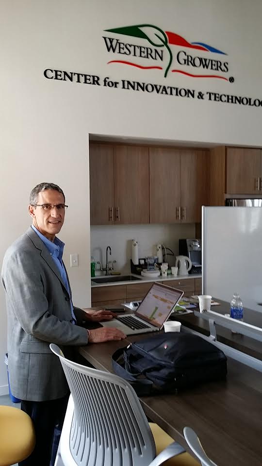
Dec 2015, Salinas, CA – GeoVisual became one of the six initial companies to move into the Western Growers Association’s Center for Innovation and Technology (WGCIT) housed in the Taylor Farms headquarters building in Salinas, California, known as the “Salad Bowl” of...
GeoVisual wins Shark Tank Pitch Competition at Western Growers Association Annual Meeting
Boulder, CO – GeoVisual Analytic’s OnSight Ag platform was selected as the top agriculture technology innovation at the Western Growers Association’s 90th Annual Meeting this week in San Diego, CA. GeoVisual competed against 6 other startup finalists during what...
GeoVisual wins Silicon Valley Competition for Precision Ag Innovations
Boulder, CO – GeoVisual Analytics begins participation in the THRIVE Accelerator this week through March, 2015 as a result of winning the THRIVE competition in San Jose, CA in December. The THRIVE Accelerator is focused on helping high tech startups bring the latest...
GeoVisual awarded NASA contract for global land classification including croplands and forests
June 2014, Boulder, CO – NASA’s Goddard Space Flight Center awarded GeoVisual a Phase 1 SBIR contract for research on land cover and land use classification using satellite imagery and ground-based sensors.
GeoVisual field tests mobile data collection at Bolder Boulder 10K race
May, 2014 Boulder, CO – GeoVisual successfully field tested a mobile platform for collecting photos and other data at the annual Bolder Boulder 10K foot race. A dozen mobile phone users simultaneously collected thousands of photos and other data during the race, which...
GeoVisual appoints Joseph Clark as Lead Developer
August 2013, Boulder, CO – GeoVisual appointed Mr. Joseph Clark as Lead Developer to lead the company’s technology efforts towards commercialization. Joe comes to GeoVisual from Google, where he led the Google Maps for Android mobile team. He is an expert at mapping...
GeoVisual awarded follow-on NASA contract for Big Data analytics R&D
July 2013, Boulder, CO – NASA’s Stennis Space Center awarded GeoVisual a two-year, Phase 2 SBIR contract to continue research and development on the integration and visualization of large and diverse data sets with satellite imagery. During Phase 2, GeoVisual is...
GeoVisual named semi-finalist in global Cleantech Open competition
July 2013, San Jose, CA – As a semi-finalist for the Cleantech Open’s Rocky Mountain Region, GeoVisual attended the Cleantech Open Academy in San Jose, CA, for a week of intensive coaching and mentoring, followed by several months of webinars and training events...
GeoVisual appoints Carl Kalin as Chief Marketing Officer
June 2012, Boulder, CO – GeoVisual appointed Mr. Carl Kalin as CMO to help commercialize the Earth observing data technologies GeoVisual has been funded by NASA to develop. Carl has been involved with multiple startups, including as the VP of Sales and Marketing for...
GeoVisual awarded NASA contract for Big Data analytics R&D
March 2012, Boulder, CO – NASA’s Stennis Space Center awarded GeoVisual a Phase 1 SBIR contract for research on analyzing and visualizing large and diverse data sets combined with satellite imagery. The research focuses on analyzing metadata associated with...
GeoVisual helps Microsoft develop a custom weather forecast tool in the cloud
Sept 2011, Boulder, CO – GeoVisual delivered to Microsoft a high performance weather forecasting system running on the Azure cloud platform. Using a simple web interface, anyone can create and view a current weather forecast of their area of interest, using the same...
GeoVisual contracted by Microsoft to deliver high performance earthquake simulations in the cloud
June 2010, Boulder, CO – GeoVisual was contracted by Microsoft to develop and deliver a cloud-based earthquake simulation and visualization platform hosted on Microsoft’s Azure platform. Azure’s compute nodes ran detailed simulations of the destructive Northridge, CA...
GeoVisual Analytics founded
May 2010, Boulder, CO – GeoVisual Technologies Inc., dba GeoVisual Analytics, was founded by Dr. Jeffrey Orrey to develop advanced technologies to monitor and manage activities on the Earth’s surface using high performance computing, satellite imagery and ground-based...
