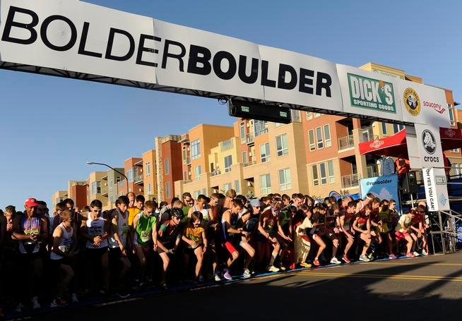
May, 2014 Boulder, CO – GeoVisual successfully field tested a mobile platform for collecting photos and other data at the annual Bolder Boulder 10K foot race. A dozen mobile phone users simultaneously collected thousands of photos and other data during the race, which were uploaded to the cloud to provide a unique event monitoring capability.
Recent Posts
- GeoVisual featured in CB InSights market map of companies bringing AI and robotics to agriculture
- GeoVisual technologies featured in NASA Spinoff Magazine
- GeoVisual is awarded a commercialization grant from the state of Colorado
- GeoVisual wins THRIVE AgTech Accelerator competition
- GeoVisual becomes THRIVE AgTech Accelerator finalist (again!)