info@geovisual-analytics.com
  • SeedGreen Login
www.geovisual-analytics.com
  • Home
  • Team
  • Sustainability
  • Contact Us
Select Page
GeoVisual awarded NASA contract for global land classification including croplands and forests

GeoVisual awarded NASA contract for global land classification including croplands and forests

by GeoVisual | Jun 3, 2014 | History

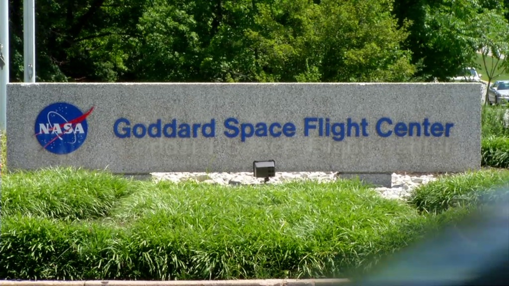
June 2014, Boulder, CO – NASA’s Goddard Space Flight Center awarded GeoVisual a Phase 1 SBIR contract for research on land cover and land use classification using satellite imagery and ground-based sensors.

Recent Posts

  • GeoVisual featured in CB InSights market map of companies bringing AI and robotics to agriculture
  • GeoVisual technologies featured in NASA Spinoff Magazine
  • GeoVisual is awarded a commercialization grant from the state of Colorado
  • GeoVisual wins THRIVE AgTech Accelerator competition
  • GeoVisual becomes THRIVE AgTech Accelerator finalist (again!)

Archives

  • July 2017
  • December 2016
  • July 2016
  • March 2016
  • February 2016
  • January 2016
  • December 2015
  • November 2015
  • January 2015
  • June 2014
  • May 2014
  • August 2013
  • July 2013
  • June 2013
  • March 2012
  • September 2011
  • June 2010
  • May 2010

Categories

  • History
  • Latest News
Copyright © 2021, GeoVisual Analytics